-
Iranian Geoportal of National Spatial Data Infrastructure
National Cartographic Center of Iran

-
almost 20000 information layers
government agencies and spatial data stakeholder


Introduction of National SDI

The significant purpose of SDI is to provide governments, organizations, and executive agencies access to basic, processed, classified, and updated spatial data at the lowest possible cost and in the shortest possible time. The goal is not that an organization should provide and own its all spatial data layers, but each organization is responsible for preparing and updating different layers of its spatial data and receives other layers of spatial data from other organizations with a specific mechanism. Each organization has a certain financial capacity to prepare or purchase the required spatial data.
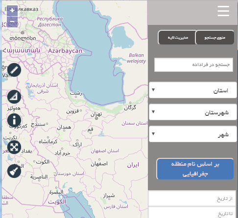
Geoportal of National Spatial Data Infrastructure
A safe and efficient platform for introducing and sharing spatial data organizations

Download documents of spatial data infrastructure
Download the produced documents by National Cartographic Center and other international authorities from here

Search
Search on information layers and existence maps in Portal of National Spatial Data Infrastructure from here

Survey
Please leave your comments on how working with the Geoportal is accessible and user friendly

Frequent Questions
Ask your question to a professional or experienced expert


Co-workers of National SDI


Geoportals of provinces

Geoportal of Mazandaran province
17/11/1397
Geoportal of Zanjan province
10/05/1398
Geoportal of Fars province
07/07/1398News

Upload the implementation guidance document of the Spatial Data Infrastructure by National Cartographic Center of Iran
17/06/1398